














By Kevin P. Corbley
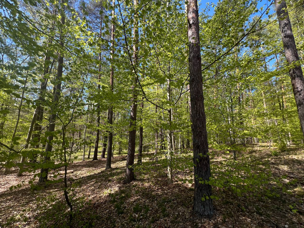 Forests worldwide are subject to stresses from climate change, pest infestation, and habitat fragmentation, and effective monitoring is the first step in managing them successfully. Researchers in Poland have recently developed a satellite-based method of quickly and accurately assessing forests anywhere in the world without the need for expansive and time-consuming field data collection.
“Tree species diversity is one of the crucial factors that describes the stability of a forest ecosystem,” said Prof. Pawel Netzel at the University of Agriculture in Krakow, Poland. “A really diverse forest is more resistant to degradation.”
While species variability is the critical factor in defining forest diversity, the size, age, and canopy structure are also taken into account. However, all these factors relate back to tree species. A species-rich forest also exhibits a variety of characteristics, which in turn support a wider range of organisms including fungi and bacteria. It is essential for nutrient cycling, carbon sequestration, and soil structure stability. Diverse forests are more resilient to water shortages because different species use water differently, allowing them to better handle drought than monocultures. These attributes contribute to overall resilience in the forest.
Forests are vital resources because their value can be defined ecologically and economically. Prof. Netzel and his team set out to devise a more effective means of assessing species diversity so that better-informed decisions can be made to sustain forest function and stability.
Remote sensing has been used historically to estimate forest diversity, but these methods have traditionally employed supervised classification techniques. They are impractical, and often inaccurate, because they rely on field data collection, which is costly, time-consuming and also difficult over large, remote geographies. The Polish researchers set out to develop a more effective alternative using unsupervised classification.
“Our key idea was to use spectral heterogeneity from satellite data as a proxy for biodiversity and to estimate it using a fully unsupervised approach,” said Dominika Cywicka, a researcher at Cracow University of Technology. “Unlike most approaches, we don’t classify tree species using training data; instead, we directly estimate diversity from spectral patterns, which makes this method more scalable.”
Focusing on forested regions of Poland, the researchers obtained 2019 optical imagery from the Sentinel-2 and Landsat 8 and derived GNDVI, EVI, and NDMI vegetative indices from the multispectral data. Working primarily with open-source software, including Python and QGIS, they applied unsupervised algorithms to cluster the data by spectral signature. From this, an “evenness” index was calculated without the need to classify by individual species.
The field verification was used in the study solely to confirm the results obtained from satellite imagery. The results were very positive.
“We found a linear connection between tree species diversity and our evenness index,” said Netzel, adding the initial results of the project confirms scalability to regions and even continents.
While work remains to be done, another important aspect of the Poland project is its temporal dimension. Thanks to decades of archived multispectral satellite imagery, the evenness index can be calculated to determine forest diversity in the past. This can provide valuable insights into the loss of diversity – and therefore forest resilience – over time, indicating where remediation methods may be required. Another goal is to identify areas where diversity has increased so that these positive examples can be replicated.
The next phases of the research include expanding the project to larger parts of Europe and South America. Prof. Netzel, a mathematician, also plans to further investigate how tree health conditions may be impacting the unsupervised diversity evenness index. This could lead to entirely new research into forest health that could be equally important for managing sustainability.
The paper, “Unsupervised Approach to Forest Tree Species Diversity Assessment with Satellite Observations,” has been published in the IEEE Journal of Selected Topics in Applied Earth Observation and Remote Sensing (JSTARS) and may be read here: ieeexplore.ieee.org/stamp/stamp.jsp?arnumber=11408415 .