Geoscience Spaceborne Imaging Spectroscopy (GSIS)

WELCOME
The Geoscience Spaceborne Imaging Spectroscopy Technical Committee (GSIS TC) provides a community of practice for all stakeholders engaged in spaceborne imaging spectroscopy with an emphasis on geoscientific applications.
- Organization
- Activities
- Training
- Publications
- Working Group
- Members
- Contact
Topics
Relevant topics of discussions includes calibration and validation, interoperability among missions, ‘best practice’ mission implementation, mass data management challenges, the development of a forward work plan for improved coordination activities amongst national space agencies, information extraction and, standardization of data products.
Mission
The mission of the GSIS TC is to share information on future spaceborne imaging spectroscopy (“hyperspectral”) missions, to provide opportunities for new partnerships between national space agencies, commercial spaceborne imaging spectroscopy data providers, research institutions and user community, and, to build a knowledge base on underpinning capabilities required for imaging spectroscopy missions to enable uptake of spaceborne imaging spectroscopy by the geoscientific community.
Organization
The GSIS Technical Committee encourages participation from all its members. The committee organization includes the Chair and two Co-Chairs.
GSIS Technical Committee Chair
  | Amanda O’Connor |
GSIS Technical Committee Co-Chair
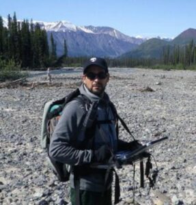  | Dr. Raymond Kokaly USGS USA |
GSIS Technical Committee Co-Chair
  | CW5 Augustus (Guss) Wright |
Meetings
Future Meetings
IGARSS 2024:
- Spectroscopy and Armed Services Webinar planned for Q1 2024
- Calibration and Validation Best Practices Webinar for Q2 2024
- Community Sessions planned for IGARRS 2024 in Athens
- CCS.51: Government and Commercial Space Based Hyperspectral Systems Update
- CCS.50: Government and Commercial Calibration/Validation of Space Based Hyperspectral Sensors
Past Meetings
IGARSS 2023:
- WE2.R12: Calibration and Validation for New Spaceborne Imaging Spectroscopy Missions
- WE3.R12: State-of-Art Technology and Application of New Spaceborne Imaging Spectroscopy Missions
- WE4.R12: State-of-Art Technology and Application of New Spaceborne Imaging Spectroscopy Missions II
- TIE Event: Workshop on Processing and Extracting Information from Hyperspectral Imagery with ENVI
July 19, 2023 TC Meeting: Geoscience Spaceborne Imaging Spectroscopy (GSIS)
Discussion on activities and needs of the spectral community. Initiated change in leadership. Members expect working groups on cal/val, methane, geologic needs of the community, and elevating new scientists in this community.
Webinar 2022 History of Methane and CO2 Mapping with AVIRIS, Dr. Robert Green, NASA Jet Propulsion Lab
History of Methane and CO2 Mappping with AVIRIS
GSIS topics at IGARSS 2020 (Virtual Conference) at the following sessions:
- Monday, 28/09/2020 – MO2.R4: International Spaceborne Imaging Spectroscopy Missions: Updates and News: igarss2020.org/view_session.php?SessionID=1018
- Tuesday, 29/09/2020 – TU1.R14: Passive Optical, Hyperspectral Sensors, and Calibration I: igarss2020.org/view_session.php?SessionID=1226
- Wednesday, 30/09/2020 – WE1.R15: Passive Optical, Hyperspectral Sensors, and Calibration II: igarss2020.org/view_session.php?SessionID=1205
- Thursday, 01/10/2020 – TH1.R15: Passive Optical, Hyperspectral Sensors, and Calibration III: igarss2020.org/view_session.php?SessionID=1203
Webinar 22/09/2020, 16:00 CEST:
- Title: GRSS Geoscience and Spaceborne Imaging Spectroscopy TC: Running and planned spaceborne imaging spectroscopy missions and related activities, Presentation
Training
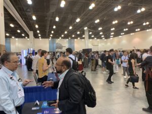

July 2023 at Pasadena Convention Center, USA
TIE Event: Workshop on Processing and Extracting Information from Hyperspectral Imagery with ENVI
Presented by Amanda O’Connor (NV5 Geospatial)
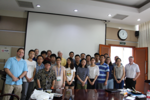

Reflectance-Based Imaging Spectrometer Error Budget Training Course
Presented by Kurtis Thome (NASA Goddard), Chris MacLellan (University of Edinburgh), Cindy Ong (CSIRO), Martin Bachmann (DLR)
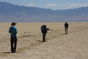

August 2017 at University of Arizona/Rail-Road-Valley, USA
Reflectance-based imaging spectrometer error budget field practicum in Rail Road Valley Test Site, USA
Presented by Kurtis Thome (NASA), Jeff Czapla-Myers and Stuart Biggar (University of Arizona), Ian Lau (CSIRO), and others
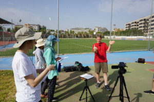

Reflectance-Based Calibration of Imaging Spectrometer Training Course @ UVEG
Presented by Kurt Thome (NASA), Ron Lockwood (Lincoln Lab), Cindy Ong (CSIRO), Luis Alonso (Uni of Valencia), and students of his lab
Publications
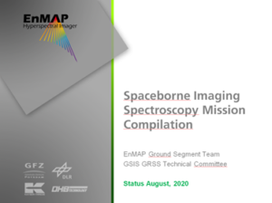

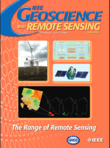

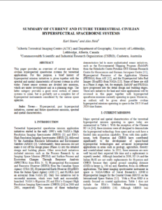

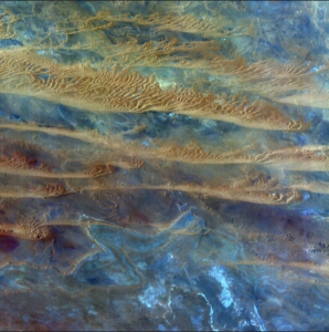

Working Group on Spectroscopic Sensing of Earth Materials Geoscience Spaceborne Imaging Spectroscopy Technical Committee (GSIS TC)
Mission Statement: “Expanding our spectroscopic understanding of rocks, sediments, and soils.”
We are improving algorithms that characterize geology and geochemistry, that detail associated physical and chemical processes, and that link geology to biological function. We are developing applications that promote the health of communities and the environment. We are expanding the number of well-validated case study areas to evaluate and compare existing and new sensors and algorithms.
Leads:
Raymond Kokaly, USGS, Denver, CO USA; raymond@usgs.gov
Carlos Souza, University of Campinas, Brazil; beto@unicamp.br
Rebecca Greenberger, California Institute of Technology, Pasadena CA; greenberger@caltech.edu
Co-leads:
Chris Hecker, ITC, University of Twente, The Netherlands; c.a.hecker@utwente.nl
Carsten Laukamp, CSIRO Mineral Resources, Kensington, Australia; carsten.laukamp@csiro.au
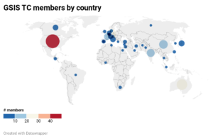
Current membership (as of January 2024)

Contact
The GSIS TC is open for a wide range of people with different expertise and background and working in different application areas. We are happy to:
- Receive your feedback, suggestions, and ideas for future activities
- Get your input for the next newsletter
- News to be distributed via the GSIS email list
- Discuss with you about GSIS subgroups
- Get you involved!
You can contact the Committee Chairs by email at gsis_chairs@grss-ieee.org


