


Global Activities
GRSS activities are global in nature – solving science problems at global scales, developing instruments with global coverage, and coordinating ground truth collections on all continents, to name a few.
The Inspire, Develop, Empower, Advance (IDEA) Program
Our Mission The IDEA Program shall Inspire, Develop, Empower, and Advance (IDEA) all GRSS members and affiliates of accredited societies who are interested in the fields of interest of the
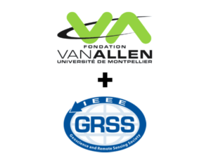
Van Allen Foundation + IEEE GRSS: Call for Ideas
The van Allen Foundation of the Université de Montpellier, France, and IEEE GRSS invite public and private organizations to propose ideas and suggestions aimed at addressing the issue of detection and tracking of marine pollution and litter in the western part of the Mediterranean Sea, including the Gulf of Lion, the Ligurian Sea, and the Balearic Sea.
Young Professionals (YP) in Geoscience and Remote Sensing
IEEE Young Professionals is a group of IEEE members and volunteers who have graduated from their first professional degree within the past 15 years. It is an international community, whose members are interested in elevating their professional image, expanding their global network, connecting with peers locally, and giving back to their community. Since it encompasses all members from recent university graduates to experienced professionals and entrepreneurs, the group is highly diverse in what it has to offer.

Quantum Earth Science and Technology
The Quantum Technologies for Earth Observation Technical Committee (QUEST TC) promotes the knowledge and application of quantum-based methods and solutions in geosciences and remote sensing.

Remote sensing Environment, Analysis and Climate Technologies
The Remote sensing Environment, Analysis and Climate Technologies Technical Committee (REACT TC) is a venue for all scientists and engineers in the domain of environment and the impact on the environment due to climate change forcing in order to exchange ideas and share knowledge.
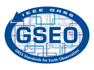
Standards for Earth Observations
About Standards for Earth Observations Mission Standards activities provide a proven path to advancing technology implementation and are a natural extension to the technical activities carried out within IEEE Societies
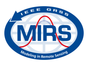
Modeling in Remote Sensing
The mission of the Modeling in Remote Sensing Technical Committee (MIRS TC) is to serve as a technical and professional forum for advancing the science of predicting remotely sensed observations from first-principles theory.
Geoscience Spaceborne Imaging Spectroscopy
The Geoscience Spaceborne Imaging Spectroscopy Technical Committee (GSIS TC) provides a community of practice for all stakeholders engaged in spaceborne imaging spectroscopy with an emphasis on geoscientific applications.
Image Analysis and Data Fusion
The Image Analysis and Data Fusion Technical Committee (IADF TC) of the Geoscience and Remote Sensing Society serves as a global, multi-disciplinary, network for geospatial image analysis and data fusion.
Frequency Allocations in Remote Sensing
The Frequency allocations in Remote Sensing (FARS) Technical Committee goal is to interface between GRSS and the radio-frequency regulatory world, and keep track of spectrum allocation issues that impact the geoscience community.
Instrumentation and Future Technologies
The Instrumentation and Future Technologies (IFT) Technical Committee of the Geoscience and Remote Sensing Society serves as a global, multi-disciplinary, network to foster international cooperation in advancing the state-of-the-art in geoscience remote sensing instrumentation and technologies.
Earth Science Informatics
The Earth Science Informatics Technical Committee (ESI TC) provides a venue for informatics professionals to exchange ideas and share knowledge. It aims at advancing application of informatics to geosciences and remote sensing, assessing technology to support data stewardship and management, and promoting best practices and lessons learned.