


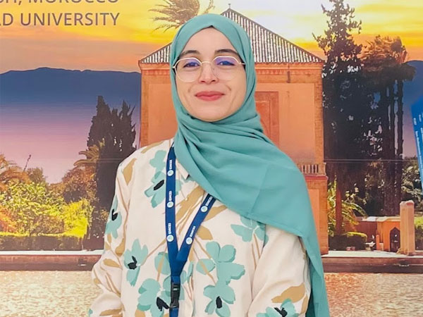
Professional Member Spotlight: Besma Guesmi
For Lead Data Scientist Besma Guesmi, innovation isn't just about cutting-edge code—it's about real-world impact. Inside her work bridging artificial intelligence and remote sensing to shape the future of how we understand Earth and space.
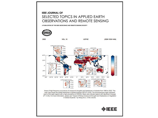
IN FOCUS: Publication Spotlight Series – IEEE JOURNAL OF SELECTED TOPICS IN APPLIED EARTH OBSERVATIONS AND REMOTE SENSING
As part of our continuing series highlighting the publications that define communication within the IEEE Geoscience and Remote Sensing Society, today we feature a journal that captures the field’s applied momentum.
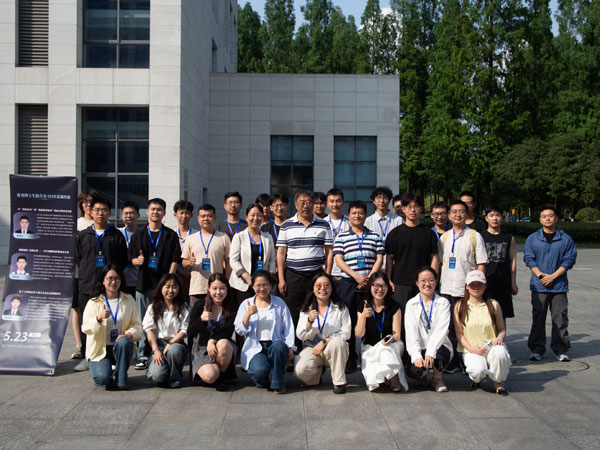
New Progress in Regional Cooperation! 2026 IEEE GRSS China Student Chapter Chair Meeting Forges Initial Regional Collaboration Network
The 2026 IEEE GRSS China Student Chapter Chair Meeting took place in Chengdu, China, on May 23–24, 2026, hosted by the IEEE GRSS student branch chapter at the University of Electronic Science and Technology of China (UESTC).

IN FOCUS: The History of IEEE GRSS at 65: (1982-1985)
The IEEE Geoscience and Remote Sensing Society (GRSS) marks its 65th anniversary in 2026. This month, we continue our 12-part series and review the many changes that helped transform the Society from 1982 to 1985.

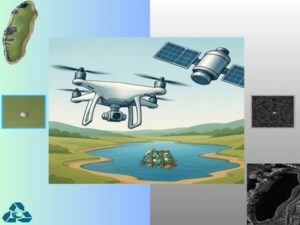
From NASA to GRSS: Bringing Cloud-Native Earth Observation Analytics to the GRSS Community
IEEE GRSS is building on NASA’s VEDA Dashboard to enhance access to the remote sensing community, especially for its members.