Dr. Seuss once said: “The more that you read, the more things you will know. The more that you learn, the more places you’ll go.” There is always time to learn something new and upskill yourself. Many top universities, professional institutes and organizations offer free online Geoscience and Remote Sensing learning resources that you can check anytime and learn at your own pace. We are listing some of them here.
This course covers the fundamental nature of remote sensing and the platforms and sensor types used. It also provides an in-depth treatment of the computational algorithms employed in image understanding, ranging from the earliest historically important techniques to more recent approaches based on deep learning.
The ARSET Program offers free, online satellite remote sensing training that builds the skills to integrate NASA Earth Science data into an agency’s decision-making activities.
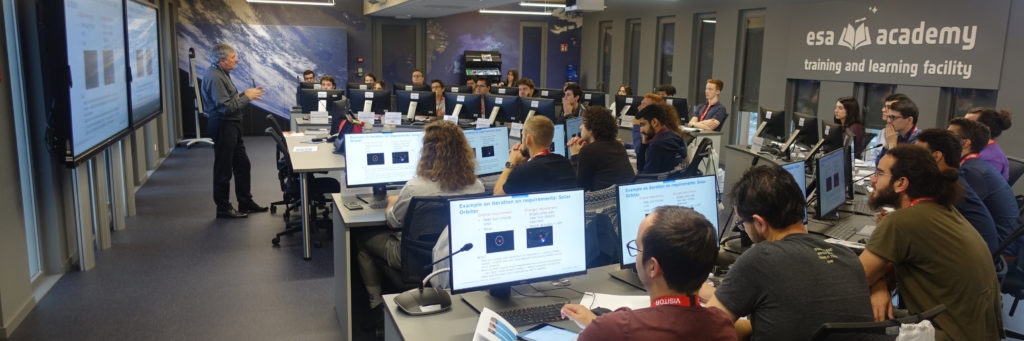
The ESA Education Office has been offering University students the opportunity to attend training sessions within the frame of ESA Academy’s Training and Learning Programme.
This course covers the fundamental nature of remote sensing and the platforms and sensor types used. It also provides an in-depth treatment of the computational algorithms employed in image understanding, ranging from the earliest historically important techniques to more recent approaches based on deep learning. It’s offered by The University of New South Wales (UNSW).
ESoA is a self-consistent model of post graduate school distributed in the several research centers in Europe. It offers the opportunity to attend courses in the most relevant Scientific Centers of Excellence, and to attend lectures from the best local and visiting instructors on Antennas and Propagation, courses of Computational EM, Metamaterials, Bio-EM, Wireless, Nanostructured materials, and TeraHertz.
This course introduces you to the powerful role of satellite ‘Earth observation’ (EO) technology in monitoring our oceans, and to the beautiful and inspiring nature of the imagery and data it produces.
Diverse online courses materials on Remote Sensing from Massachusetts Institute of Technology such as “Atmospheric Radiation”, “Spatial Database Management and Advanced Geographic Information Systems“, etc.
Esri training options support GIS practitioners, non-GIS professionals, and anyone who needs to use the ArcGIS platform to support their daily workflows, enhance projects with geographic context, and create information that leads to better decision-making. It offers instructor-led courses as well as online interactive courses and training seminars with activities and software exercises.
The Online Remote Sensing Guide consists of two web-based instructional modules that use incorporate text, colorful diagrams, and animations to introduce selected topics in the field of remote sensing.
A online learning platform by the Indian Institute of Remote Sensing focussing on strengthening the Academia and User Segments in Space Technology & Its Applications using Online Learning Platforms.
This course offers a combination of GIS, remote sensing, global navigation satellite system, location-based system, underground utilities survey, and smart city application. It’s provided by the Hong Kong Polytechnic University through edX platform.