







By Kevin P. Corbley
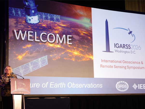
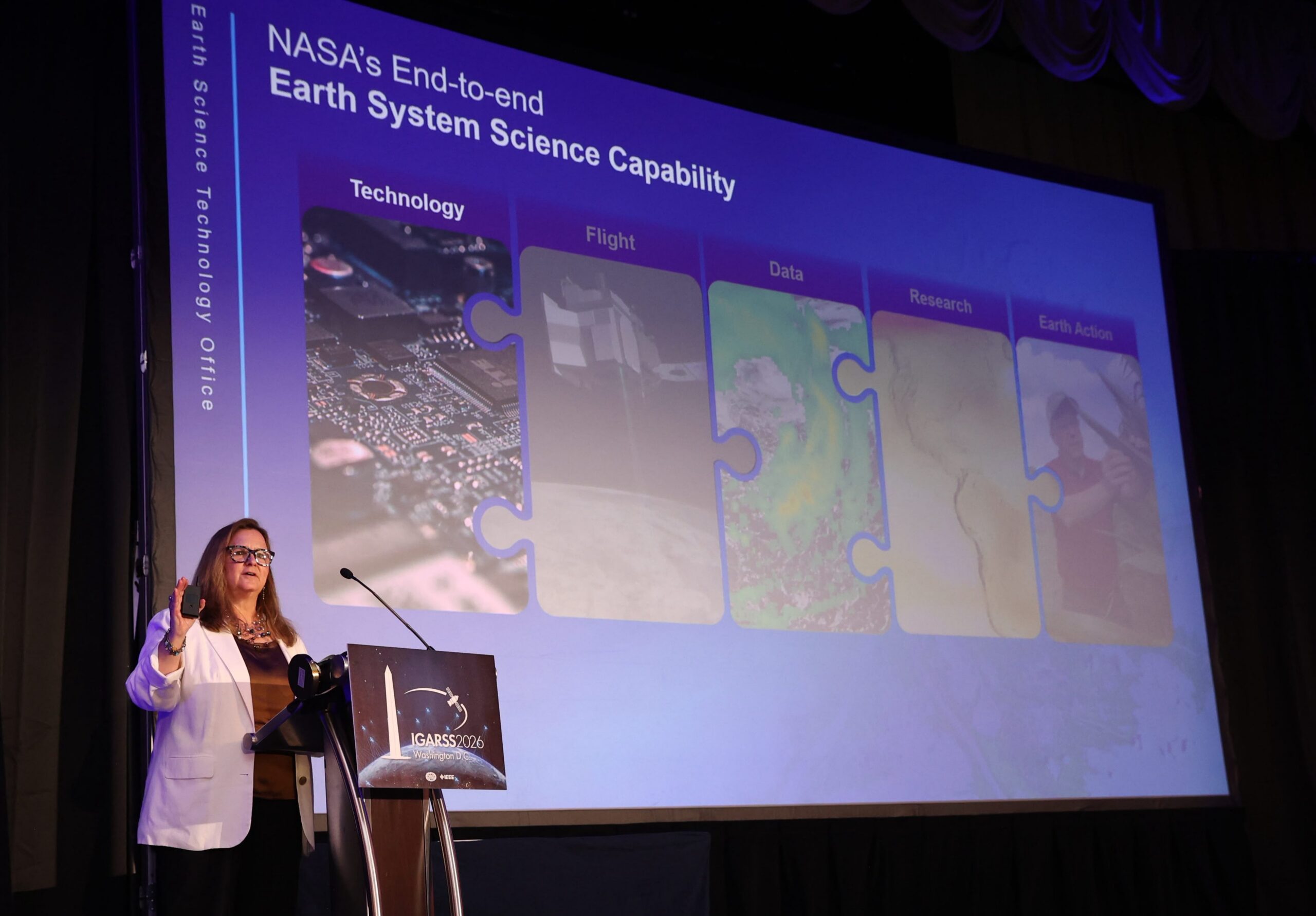 The Plenary presentations at IGARSS 2026 in Washington, D.C., featured an up-to-the-minute preview of key Earth observation satellite missions being planned by NASA. Dr. Karen St. Germain, Earth Science Division Director at NASA and 2010 IGARSS Co-Chair, provided a rapid-fire description of the many NASA satellites that will soon be capturing data related to Earth’s surface, atmosphere, and hydrology.
Dr. St. Germain explained that NASA missions are focused on observing all aspects of the Earth system from its core to outer stratosphere. Innovation is driven by the Earth Science Technology Office (ESTO) which conceives new missions on the premise of answering the hardest scientific questions. A major goal is to collect data and devise technologies that can turn science into action, especially in the form of better decisions.
As examples of recent NASA technological successes in orbit now, she pointed to the CYGNSS and NISAR missions.
When it comes to innovation, NASA is focusing on speed. One example is the Venture Technology Accelerator that involves the commercial sector to bring Earth science initiatives to maturity more quickly. The payoff is often adoption of NASA technology in the private sector, she said, noting companies such as Tomorrow.io and Muon Space that have successfully leveraged government innovations.
Upcoming NASA Earth science missions that will benefit many of the researchers attending IGARSS 2026 include the following, as described by Dr. St. Germain:
EAGLE
A multi-satellite mission, EAGLE will focus on observing the biology and geology of Earth’s surface. Scheduled for launch in just 36 months, EAGLE VSWR will carry a best-in-class imaging spectrometer that will measure in detail changes to vegetation, soil, and life on the surface. The imaging technology being developed for EAGLE VSWR will blaze a trail for future missions that will explore the Moon and Mars, she added.
The second satellite, called EAGLE TIR, will carry a highly sensitive thermal imager. The idea behind this instrument is that it will not saturate at high temperatures, making it ideal for capturing data over wildfires and volcanoes. TIR will have a very wide swath and three-day revisit. Both EAGLE VSWR and TIR missions are being led by JPL in California.
The third EAGLE mission, called EDGE, is being developed by Goddard Space Flight Center in Maryland, and it will carry an advanced LiDAR sensor. EDGE will map many landforms with a primary objective of measuring ground biomass. All three missions will work together for a better understanding of surface biology and geology, she said.
FALCON
FALCON stands for Fleet for the Atmosphere Linking Commercial Observations with NASA. As the name implies, FALCON will include a series of satellites designed to collect data related to the atmosphere and clouds with a goal of better understanding weather changes and atmospheric interactions. When combined with other NASA and commercial data sets, FALCON measurements will build one of the most advanced AI training sets for atmospheric modeling ever created, St. Germain said.
With the first satellite launched as early as 2029, FALCON will include a dynamic Doppler Radar collecting continuous data on clouds and precipitation. The FALCON Radiometer will capture data on background temperature and water vapor fields. FALCON LiDAR will be an advanced laser operating in new wavelengths from space to collect vertical profiles of water vapor. The LiDAR will address questions associated with the links between aerosols, clouds, and water vapor – and the processes of cloud seeding, she said.
Other important NASA missions supporting FALCON include the Precipitation Measuring Mission (PMM) being planned jointly with Japan (and France), the INCUS mission that will measure convective updrafts (convective mass flux) associated with the intensification of storms, and PolSIR to observe the formation and diurnal variability of high-altitude ice clouds. While these missions focus primarily on Earth’s troposphere (and upper troposphere), STRIVE will be an infrared limb sounder collecting data in the upper troposphere and stratosphere.
Dr. St. Germain concluded her presentation addressing the problem so many geoscience and remote sensing researchers have grappled with in the past decade – dealing with a large volume and variety of data coming from so many satellite instruments. She said NASA has completely overhauled its data system strategy.
“We are trying to get the data out the door faster and in a way that it enables science productivity as quickly as possible,” said explained. “So, we’re moving from a data center concept, which is IT centric, to science-enabled teams of human talent.”