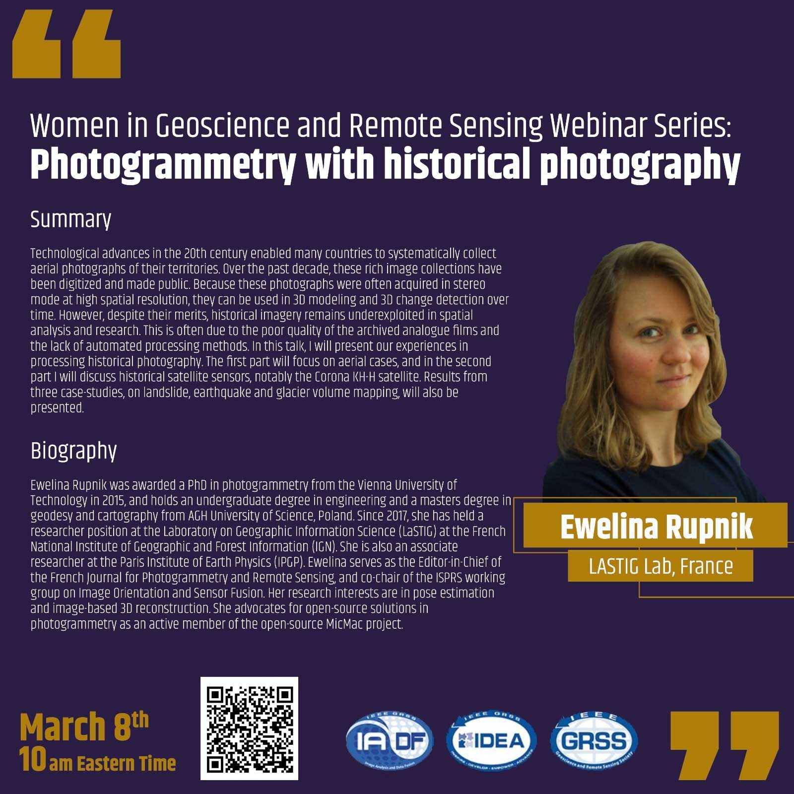
About the Webinar
Technological advances in the 20th century enabled many countries to systematically collect aerial photographs of their territories. Over the past decade, these rich image collections have been digitized and made public. Because these photographs were often acquired in stereo mode at high spatial resolution, they can be used in 3D modeling and 3D change detection over time.
However, despite their merits, historical imagery remains underexploited in spatial analysis and research. This is often due to the poor quality of the archived analogue films and the lack of automated processing methods. In this talk, I will present our experiences in processing historical photography. The first part will focus on aerial cases, and in the second part I will discuss historical satellite sensors, notably the Corona KH-H satellite. Results from three case-studies, on landslide, earthquake and glaciar volume mapping, will also be presented.
About the Speaker
 Ewelina Rupnik was awarded a PhD in photogrammetry from the Vienna University of Technology in 2015, and holds an undergraduate degree in engineering and a masters degree in geodesy and cartography from AGH University of Science, Poland. Since 2017, she has held a researcher position at the Laboratory on Geographic Information Science (LaSTIG) at the French National Institute of Geographic and Forest Information (IGN). She is also an associate researcher at the Paris Institute of Earth Physics (IPGP).
Ewelina serves as the Editor-in-Chief of the French Journal for Photogrammetry and Remote Sensing, and co-chair of the ISPRS working group on Image Orientation and Sensor Fusion. Her research interests are in pose estimation and image-based 3D reconstruction. She advocates for open-source solutions in photogrammetry as an active member of the open-source MicMac project. More information at www.umr-lastig.fr/ewelina-rupnik