Application of UAVs and GIS for Sustainable Development in the Earth Sciences
Webinar Speakers: Prof. Shawn Kefauver, University of Barcelona
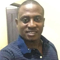
Dr. Andongma Tende, Ahmadu Bello University and The University of Iloren, Nigeria
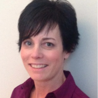
Moderator: Dr. Heather McNairn
- June 17th, 2022
- 12:00 P.M. Eastern Time
- Sponsored by GRSS
- Chapter Webinar
About the Webinar
This webinar consists of two talks given by Prof. Shawn Kefauver; Dr. Andongma Tende, and moderated by Dr. Heather McNairn. Dr. McNairn is a Canadian Federal Research Scientist with Agriculture and Agri-Food Canada. The first speaker will be Prof. Kefauver who will discuss his recent research into using UAVs and mobile phones agroforestry research. Next, Dr. Tende will speak on applications of remote sensing and GIS in geological investigations.
About the Speakers
Prof. Shawn Kefauver, PhD., is a NASA Earth and Space Science Fellow and a Fulbright Scholar currently serving as Professor in the Plant Physiology Department of The University of Barcelona. His research focus is on the scientific application of airborne drones and environmental remote sensing on climate change, agriculture, and natural environmental projects in Spain, the USA, and across Africa.
Dr. Andongma Tende is an academician, consultant, and researcher from the Ahmadu Bello University and the University of Ilorin, Nigeria. One of his special interests is in Remote Sensing applied to geological investigations, mineral exploration, groundwater studies, and geological hazards.
Dr. Heather McNairn’s research with Agriculture and Agri-Food Canada develops methods, models and algorithms to monitor the state and condition of our soils and crops using data from multi-spectral, hyperspectral and Synthetic Aperture Radar (SAR) satellites.


