TC Webinar - REACT
Global Satellite Monitoring of Wildfires
The project aims to monitor global burned areas from satellite Earth observation.


![]()
IGARSS (the International Geoscience and Remote Sensing Symposium) is the flagship conference of the Geoscience and Remote Sensing Society...


The project aims to monitor global burned areas from satellite Earth observation.
2-year Postdoctoral Position in SAR Remote Sensing of Sea Ice (Canada)

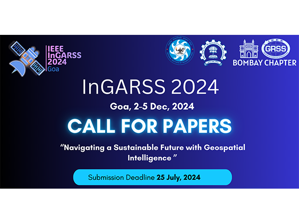
IGARSS 2024 will be held in Athens, Greece from 7–12 July 2024 at the Megaron Athens International Conference Centre. It is the 44th annual International Geoscience and Remote Sensing Symposium (IGARSS 2024) of the IEEE Geoscience and Remote Sensing Society, the world’s largest technical professional organization.

Standard development process to address the concerns for RFI caused degradation to remote active and passive sensors

To advance collective progress on remote sensing of surface composition, the IEEE GRSS GSIS TC is starting a working group to improve algorithms that characterize geology and geochemistry, that detail associated physical and chemical processes, and that link geology to biological function. A focus will be on expanding the number of well-validated case study areas to evaluate and compare existing and new sensors and algorithms.
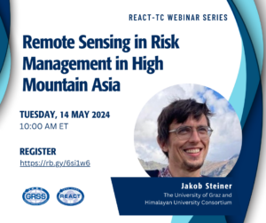
An increasing number of high-impact disasters are being reported from High Mountain Asia, some of which have been studied with astonishing detail relying on remote sensing data. Regional capacities to respond to these evolving hazard chains, both in academic as well as governmental environments are however less well known and sometimes available capacities remain untapped. We will look at some of these capacities and associated challenges through the prism of recent events and explore potential ways ahead for international capacities to contribute to further improve our responses.
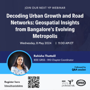
The rapid urbanization of Indian cities driven by economic liberalization and industry centric growth has resulted in significant transformation of land use and land cover within urban areas and their surrounding regions.
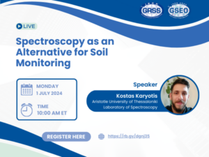
Soil spectroscopy is the process of estimating soil properties from near- and/or mid-infrared spectra captured from soil samples, either in the field or in a lab.
The Graduate School of Geography at Clark University seeks to fill a 2-year visiting Assistant Professor position in Geographic Information Science (GIS) to begin August 2024.
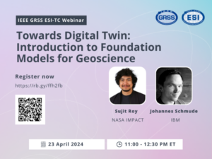
The webinar will explore two foundation model designs, emphasizing their role in understanding earth processes and contributing to the development of Digital Twin technology.