Events

ESI-TC

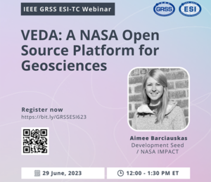
VEDA: A NASA Open Source Platform for Geosciences

Visualization, Exploration, and Data Analysis (VEDA) is NASA’s open-source science platform for Earth science research and applications. The webinar will demonstrate how VEDA addresses the challenges of data processing, visualization, and exploration, especially for cloud-native data.

TC-REACT

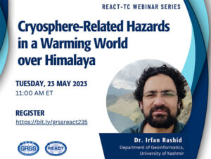
Cryosphere-Related Hazards in a Warming World over Himalaya

This webinar, which is a precursor to a community contributed session at IGARSS 2023, sponsored by the REACT TC, aims to showcase how various stakeholders in the earth sciences and impact organizations are utilizing sensors, frameworks, and flood data to produce knowledge for flood assessment, mitigation, and recovery.

TC-REACT

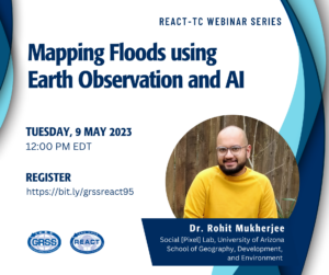
Mapping Floods using Earth Observation and AI

This webinar, which is a precursor to a community contributed session at IGARSS 2023, sponsored by the REACT TC, aims to showcase how various stakeholders in the earth sciences and impact organizations are utilizing sensors, frameworks, and flood data to produce knowledge for flood assessment, mitigation, and recovery.

Earth Observation Technical Performance Trajectories for Technology Roadmapping and Investments.

Technological capabilities in Earth observation (EO) systems are rapidly changing. Understanding these trends allows for developing baselines for future technology performance projections that can guide mission planning and technology investments decisions. The empirically derived technological trajectories are projected for mid (2030) and long-term (2040) scenarios and implications for technology portfolio

Signal Processing for Distributed Joint Radar-Communications

In this talk, we focus on the recent developments toward distributed integrated sensing and communications (ISAC). We consider a broad definition of coexistence, which covers ISAC, collaborative communications, and sensing with interference.

Summer School on Digital Agricultural Technologies

IEEE GRSS Summer School Hyderabad Section presents you an opportunity for all the creative minds to introduce the participants to different agriculture data platforms already available and will encourage them to discover the scope and utility of the open data platforms for analytics and intelligence in agriculture.

IFT-TC

Women in Geoscience and Remote Sensing Webinar Series: Photogrammetry with Historical Photography

Traditional active radars transmit a powerful electromagnetic pulse and record the echo’s delay time and power to measure target properties of interest, such as range, velocity, and reflectivity. Such observations are critical for investigating current and evolving conditions in extreme environments (i.e., polar regions and planetary missions); however, existing radar systems are resource-intensive in terms of cost, power, mass, and spectrum usage when continuously monitoring large areas of interest. I address this challenge by presenting a novel implementation of passive radar that leverages ambient radio noise sources (instead of transmitting a powerful radio signal) as a low-resource approach for echo detection, ranging, and imaging.
IFT-TC

Bistatic and Multistatic SAR: State of the Art and Future Developments

Traditional active radars transmit a powerful electromagnetic pulse and record the echo’s delay time and power to measure target properties of interest, such as range, velocity, and reflectivity. Such observations are critical for investigating current and evolving conditions in extreme environments (i.e., polar regions and planetary missions); however, existing radar systems are resource-intensive in terms of cost, power, mass, and spectrum usage when continuously monitoring large areas of interest. I address this challenge by presenting a novel implementation of passive radar that leverages ambient radio noise sources (instead of transmitting a powerful radio signal) as a low-resource approach for echo detection, ranging, and imaging.

TC-MIRS

Multiple Scattering Theory of Wave and Computational Electromagnetics

Radiative transfer equations and analytical multiple scattering theory of waves have been applied to microwave remote sensing since the 1980’s. With the advance of computers and computational electromagnetics, Numerical Maxwell Model of 3D simulations has gained importance. In this webinar, we start with dense media full-wave simulations. Next, we describe 3D simulations of rough surface scattering.