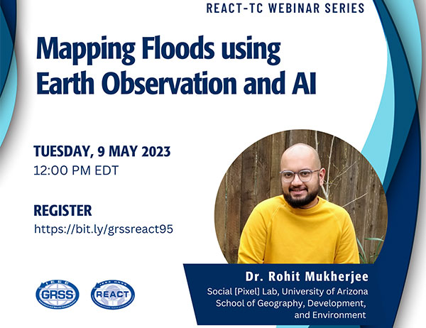
Mapping Floods using Earth Observation and AI
About the Webinar
Floods which constitute around half of all extreme events are increasing, exposing a larger population to a higher risk of loss of livelihood and property. Therefore, mapping historical flood events, near real-time flood monitoring, and flood damage assessment are crucial for mitigating this current scale of loss. Satellite imagery offers a unique perspective to monitor flood events by measuring their near real-time extent and duration and assessing the damage and post-disaster recovery. This webinar, which is a precursor to a community contributed session at IGARSS 2023, sponsored by the REACT TC, aims to showcase how various stakeholders in the earth sciences and impact organizations are utilizing sensors, frameworks, and flood data to produce knowledge for flood assessment, mitigation, and recovery.
About the Speaker


Rohit Mukherjee works with Dr. Beth Tellman as a Postdoctoral Research Associate at the Social Pixel Lab at the University of Arizona in the School of Geography, Development, and Environment. He received his Ph.D. in 2020 from the Department of Geography at Ohio State University, where his research involved the enhancement of spatial, spectral, and temporal resolutions of publicly available satellite data products via deep learning techniques. His current research focuses on the global mapping of flood and surface water, measurement of narco-related infrastructure growth in Central America, and the evaluation of the impact of USAID programs in Bangladesh and Kenya using satellite imagery. His current research interests involve the integration of ground knowledge with satellite imagery, improving robustness in deep learning models through independent validation, and understanding accuracy metrics with respect to conveying meaningful information.


