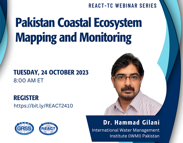
Pakistan Coastal Ecosystem – Mapping and Monitoring

Pakistan Coastal Ecosystem - Mapping and Monitoring

Webinar Speaker:

Dr. Hammad Gilani

International Water Management Institute (IWMI) Pakistan

About the Webinar

The impact of climate change on coastlines is significant and poses various risks. Human activities are one of the primary factors contributing to this problem. Approximately 40% of the global population resides within 100 kilometers of the coast.

Pakistan’s coastline is 1,050 km long and 40-50 km wide, distributed between the Sindh (350 km) and Balochistan (700 km) provinces, and geographically placed between 24° to 25°N Latitude and 61° to 68° E longitude. Along the coast, mangrove forests help fight climate change, prevent soil erosion, and protect against tsunamis and cyclones. In Pakistan, mangrove forest areas are distributed in eight distinct geographic pockets: Indus Delta, Sandspit in Sindh Province and Sonmiani Khor, Kalmat Khor, Sahidi Khor, Sawar Khor, and Shabi & Ankra Creeks and Jiwani in Balochistan province.

This talk would showcase the existing work on understanding the dynamics of the Pakistan Coastal Ecosystem, particularly focusing on mangroves using Earth Observation technologies. In Pakistan, mangrove forest areas are distributed in five distinct geographic pockets: Indus Delta, Sandspit, Sonmiani Khor, Kalmat Khor, and Jiwani. The comprehensive study on mangrove cover change assessment using satellite images from 1990 to 2020, at five-year intervals, revealed at the national scale, an estimated 477 km2 was covered with mangroves in 1990, which increased to 1463 km2 in 2020, a 3.74% annual rate of change. Mangrove forest above and soil organic carbon stocks were estimated in the Indus Delta, the world’s largest arid climate mangrove site, by integrating in-situ measurements with satellite images in the machine learning algorithms and spaceborne LiDAR datasets for canopy height mapping.

About the Speaker

Dr. Hammad Gilani is educated with a Ph.D. in Photogrammetry and Remote Sensing from Liaoning Technical University in China. He has Postdoctoral research experience at the University of Illinois, Urbana-Champaign, USA. He has gained experience working for seven and a half years at the International Centre for Integrated Mountain Development (ICIMOD) in Kathmandu, Nepal, and three and a half years as an assistant professor at the Institute of Space Technology (IST) in Islamabad, Pakistan. Gilani is a Researcher for Remote Sensing and GIS at the International Water Management Institute (IWMI) in Pakistan.
Gilani is skilled in using geospatial data to create plans, make decisions, and predict future outcomes of natural processes and human actions. He has experience designing and executing research projects and training courses for land resource mapping, monitoring, and management. He has published over 30 peer-reviewed research articles and book chapters on Earth Observation systems applications.

Days
Hours
Minutes
Seconds