


About the Speakers
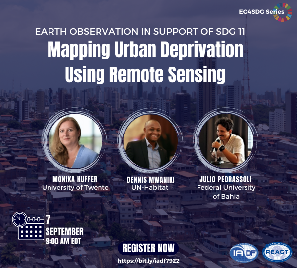
 Monika Kuffer is working as Assistant Professor at the Faculty of Geo-Information Science and Earth Observation (ITC, University of Twente). Her main research interests are urban remote sensing, SDG monitoring, mapping deprived areas (e.g., slums), and analyzing urban form and dynamics with remote sensing and spatial statistics/metrics. She is co-chairing an international network on deprivation area mapping IDEAMAPS (ideamapsnetwork.org), and is presently working on two research projects related to deprivation area mapping SLUMAP (slumap.ulb.be) and ACCOUNT (slummap.net). She received her PhD from the University of Twente (NL) and one MSc in Human Geographer (TU Munich) and a second MSc in Geographic Information Science (University of London).
 Julio Pedrassoli has a Ph.D. in Human Geography from the University of São Paulo (USP), a master’s degree in Physical Geography from the same university, and a degree in Geography from Universidade Estadual Paulista (UNESP). Develops research using Remote Sensing to identify patterns of spatiotemporal change over the Earth’s surface, especially in mapping urban sprawl and the relationship between housing and poverty in the Global South. Since 2014 he is a Professor and Researcher at the Federal University of Bahia, working at the Department of Transportation Engineering and Geodesy of the Polytechnic School of the Federal University of Bahia (UFBA). He was Research Scholar at the Lamont-Doherty Earth Observatory/Columbia University in urban remote sensing and currently coordinates the mapping of Brazilian urbanized areas in the MapBiomas initiative.
 Dennis Mwaniki is a Spatial Data Expert at UN-Habitat’s Data and Analytics Section, where his day to day responsibilities include coordinating activities around geospatial data production, methodological developments, and supporting countries and cities in the integration of earth observations and geospatial information techniques into urban monitoring processes. He currently leads UN-Habitat’s global activities on production of data on three SDG 11 indicators which are reliant on earth observation and geospatial information – 11.3.1 on spatial and demographic urbanization trends, 11.2.1 on access to public transport and 11.7.1 on access to open public spaces; research on new approaches for measuring the share of population living in slums and informal settlements using geospatial techniques (SDG 11.1.1); as well as related indicators within the New Urban Agenda (NUA) monitoring framework. He also coordinates activities on implementation of the harmonized global definition of urban and rural areas, leads the section’s work on mapping existing social and infrastructural facilities/ assets in partner cities, and contributes to the preparation of progress reports against SDG 11.


