



Loading Events

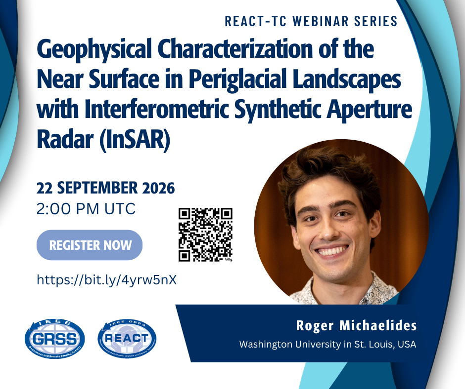
Geophysical Characterization of the Near Surface in Periglacial Landscapes with Interferometric Synthetic Aperture Radar (InSAR)

Webinar Speaker:

Roger Michaelides

Affiliation:

Washington University in St. Louis, USA

About the Webinar

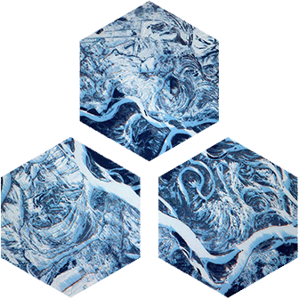
Periglacial landscapes, which are defined by the presence of subsurface permafrost and characterized by significant seasonal freeze/thaw cycles, are shaped by diverse geomorphic processes including ice wedging, frost heave, solifluction, and thermokarst, and marked spatiotemporal variation in near surface geophysical characteristics (e.g., soil saturation fraction, ice content, thaw depth). Interferometric synthetic aperture radar (InSAR) is an active remote sensing technique capable of imaging centimetric-scale ground surface displacement at high spatial and temporal resolutions. The InSAR technique has been used to characterize surface subsidence and uplift associated with the seasonal freezing and thawing of the active layer,  secular deformation associated with thermokarst, permafrost degradation, and geomorphologic change. Furthermore, the integration of the InSAR method with complementary geophysical methods can provide unique insights into the near subsurface of periglacial landscapes otherwise not achievable with a single-method modality. Here, we will discuss several illustrative case studies in which InSAR has been used to characterize the near surface in periglacial landscapes, either singularly or with a complementary geophysical method.

About the Speaker

Roger Michaelides is an Assistant Professor in the Department of Earth, Environmental, and Planetary Sciences at Washington University in St. Louis. He is broadly interested in geospatial and radar remote sensing applications for terrestrial and planetary geophysics. His main research interests include time series analysis and geodetic inversion, error quantification and modeling, multisensor fusion of InSAR and LiDAR datasets, and SAR signal modeling and processing, with an emphasis on studying hydrologic, cryologic, and environmental processes in periglacial landscapes. Dr. Michaelides is a member of the NASA Decadal Survey Incubation (DSI) Surface Topography and Vegetation Incubation Team (STV-IT).

Recorded Webinar

Looking for an older Event? See our Past Events. Events prior to April 2024 can be found in our Events Archive.