Multi-Sensor Anomalous Change Detection: a New Paradigm for Rapid Change Detection in Remote Sensing Imagery

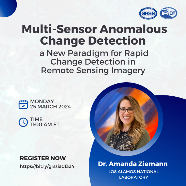
Multi-Sensor Anomalous Change Detection: a New Paradigm for Rapid Change Detection in Remote Sensing Imagery

Webinar Speaker:

Dr. Amanda Ziemann

Affiliation:

Los Alamos National Laboratory

About the Webinar

Combining multiple satellite remote sensing sources can provide a far richer, more frequent view of the earth than that of any single source; the challenge is in distilling this large volume of heterogeneous sensor imagery into meaningful characterizations of the imaged areas. The traditional approaches to change detection involve difference-based techniques, but these do not naturally extend to image pairs captured by sensors with different designs and phenomenologies. To leverage imagery in this multi-sensor context, algorithms are being developed to effectively combine different kinds of sensor imagery that can identify subtle but important changes among the intrinsic data variation, e.g., multispectral to synthetic aperture radar. Here, we implement a joint-distribution framework for anomalous change detection that can effectively “normalize” for these changes in modality, and does not require any phenomenological resampling of the pixel signal. This flexibility enables the use of satellite image pairs from different sensor platforms and modalities. This talk will present recent research in this area, discuss what worked and what didn’t work, and highlight opportunities for future research directions by the community.


About the Speaker

Dr. Amanda Ziemannis an imaging scientist in the Space Remote Sensing & Data Science Group at Los Alamos National Laboratory. She holds a B.S. in Applied Mathematics, an M.S. in Applied & Computational Mathematics, and a Ph.D. in Imaging Science, all from Rochester Institute of Technology. Her dissertation research was funded by the US National Geospatial-Intelligence Agency (NGA) and the US Department of Energy (DOE). She has been at Los Alamos since 2015, and after completing a distinguished Agnew National Security Postdoctoral Fellowship, she became a permanent staff scientist. Amanda’s work supports geospatial intelligence (GEOINT) with a focus on developing signal detection algorithms for ground-based, airborne, and spaceborne sensors; her experience is primarily with multispectral and hyperspectral imagery, and has more recently included synthetic aperture radar and RF data, as well as combining these modalities with non-traditional data (e.g., social media). She currently leads/co-leads projects in these areas for the US Government. Amanda also serves as an Associate Editor for IEEE Geoscience and Remote Sensing Letters and for SPIE Optical Engineering, as a committee member for two SPIE conferences and for the Military Sensing Symposia Battlefield Survivability and Discrimination conference, and as a US representative to a NATO Research Task Group on hyperspectral image analysis.

Days
Hours
Minutes
Seconds