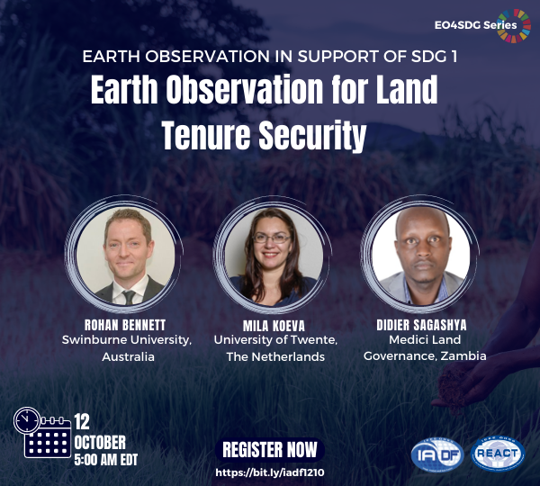
Earth Observation in support of SDG 1: Earth Observation for Land Tenure Security
About the Webinar
Secure land property rights and efficient registration systems are essential for the modern economy. They give guarantee to individuals and businesses to invest in their land, creating the conditions for improving the livelihoods and sustainable management of natural resources, and enabling governments to collect property taxes, which are necessary to finance infrastructure and services to citizens. Unfortunately, a mere 30% of the global population has legally registered rights to their land and homes, which means that more than 5 billion of the world’s population do not have documented land rights. Moreover, this percentage drops down to 10% in African countries. The insecurity of land tenure and property rights is often at the root of poverty and inequality, leading to legal conflicts, unequal economic systems, locks of assets, and challenging effective and democratic governance principles.
The 2030 UN agenda for Sustainable Development Goals (SDG) recognizes the fundamental role of land rights security in several targets and indicators under SDG 1, 2, 5, 11, 15, and 16. The correct registration of land tenure rights directly impacts food security, environmental sustainability, and advancing women’s empowerment worldwide. Target indicator 1.4 in particular, aims at “ensuring that all men and women, in particular the poor and the vulnerable, have equal rights to economic resources, as well as access to basic services, ownership and control over land and other forms of property, inheritance, natural resources, appropriate new technology and financial services, including microfinance.” Indicator 1.4.2 required nations to monitor the “proportion of total adult population with secure tenure rights to land, with legally recognized documentation and who perceive their rights to land as secure, by sex and by type of tenure.”
The webinar will feature presentations from three international experts in land administration systems and cadastral mapping using remote sensing and geospatial data. They will elaborate on the opportunity to use Earth observation to support cadastral mapping to achieve target 1.4 and indicator 1.4.2. The three speakers will provide their views on this societal challenge, bringing together the experience from academia, governmental agencies and a company working on developing land administration systems. A discussion and Q&A session will follow the three presentations.
About the Speakers
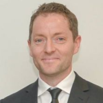

Rohan Bennett holds a Doctoral Degree in Geomatic Engineering from the University of Melbourne and is an Associate Professor consulting in the areas Information Systems, Land Administration, and Spatial Data Infrastructures (SDIs). He is the incoming Chair of FIG Commission 7 on Cadastre and Land Management.


Mila Koeva is an Associate Professor at University Twente, International Institute of Geo-Information Science and Earth Observation ITC, The Netherlands.
She holds a PhD and MSc. Degree from the University of Architecture, Civil engineering, and Geodesy in Sofia. Her career includes ten years of working as a photogrammetry department of GIS Sofia (www.gis-sofia.bg) producing cadastral and topographic maps and three years of work in a private organization Mapex (www.mapex.bg) leading three EU projects related with geodetic, cadastral and photogrammetric activities.
Her main areas of expertise include Digital Twins/3D modelling, image data acquisition and processing techniques (satellite, aerial, and UAVs), and automatic feature extraction for cadastral mapping and urban planning, among others. More specific, her research focuses is on the implementation of innovative geospatial and machine learning methods based on remotely sensed data in support of 3D urban modelling and cadastral applications.


Mr. Didier G. SAGASHYA is the Country Manager for Medici Land Governance in Zambia since September 2019. Prior to that, he was a consultant with World Bank Group and worked in Rwanda as public servant in various capacities for 14 years where he served for 8 years as Head of Lands and Mapping Department; leading the systematic land registration of all land parcels, the creation of modern cadastral system and Land Administration Information System.
Mr. Didier served also as Director General of Rwanda Housing Authority and as Executive Chairman of Ultimate Concepts Ltd that developed the Kigali Convention Centre and Radisson Blu Hotel in Rwanda. In 2017, he was the City Manager for the City of Kigali.


