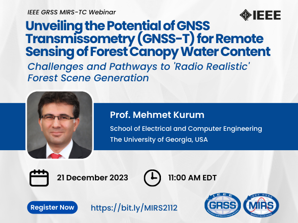
Unveiling the Potential of GNSS Transmissometry (GNSS-T) for Remote Sensing of Forest Canopy Water Content: Challenges and Pathways to 'Radio Realistic' Forest Scene Generation
Webinar Speaker:
Prof. Mehmet Kurum
Speaker’s Affiliation:
School of Electrical and Computer Engineering, The University of Georgia, USA
- December 21st, 2023
- 11:00 A.M. Eastern Time
- Sponsored by GRSS
- TC- Webinar MIRS
About the Webinar
There is significant evidence that vegetation water content, known as VWC, can serve as a useful measure of water status as it is directly linked to the moisture content of living fuel. Improved temporal and spatial quantification of VWC variations is expected to aid in the improved evaluation of how forests respond to drought, including tree mortality and wildfire risk. Direct measurement of VWC dynamics remotely can also be crucial for understanding and modeling hydrological and ecological processes. Presently, only coarse spatial resolution (25 – 50 km) vegetation optical depth (VOD) is globally observed by satellites. These observations are mainly derived from opportunistic analyses of measurements that were initially intended for other scientific purposes. In addition, validating spaceborne VOD poses a significant challenge due to lack of systematic ground-based VOD observations at the moment. Recently a new methodology called the Global Navigation Satellite System (GNSS) Transmissometry (GNSS-T) technique has gained attention to monitoring VWC directly. The method uses stationary or mobile GNSS receivers under the forest canopy, accompanied by an additional unit in the open area as reference. The logarithmic difference between the two measurements yields information on forest transmissivity (water content). This relatively new remote sensing (non-intrusive) approach could transform forest VWC monitoring studies. Its optimal interpretation, use, and relation to VWC have yet to be comprehensively explored.
In this talk, we pose questions and raise challenges to maximize the utility of the GNSS-T approach for remotely sensing both temporal and spatial dynamics of VWC. We provide the theoretical and experimental foundations to explain how the GNSS-T method provides information about the characteristics of VOD and VWC measurements. We will explore needs in scattering models with varying degrees of assumption on the statistical homogeneity, the shape of scatterers, wave illumination, and complex heterogeneous realistic vegetated terrains. In other words, we seek “radio realistic” scene generation by exercising the trade-off between “photo” (architecture) realism and accuracy needs. Without a clear understanding of the impact of the complex features of a “radio realistic” canopy on the scattered signals, retrieval algorithms cannot make the best use of collected GNSS-T measurements or can even cause misinterpretation of the results.
About the Speaker
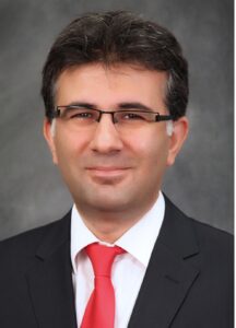

Dr. Kurum is a senior member of the IEEE Geoscience and Remote Sensing Society (GRSS) and a member of the U.S. National Committee for the International Union of Radio Science (USNC-URSI). He has been an associate editor for IEEE Transactions on Geoscience and Remote Sensing and IEEE Journal of Selected Topics in Applied Earth Observations and Remote Sensing since 2021. His current research focuses on recycling the radio spectrum to address the challenges of decreasing radio spectrum space for science while exploring entirely new microwave regions for land remote sensing. Dr. Kurum was a recipient of the Leopold B. Felsen Award for excellence in electromagnetic in 2013, the International Union of Radio Science (URSI) Young Scientist Award in 2014, and the NSF CAREER award in 2022. He served as an Early Career Representative for the International URSI Commission F (Wave Propagation and Remote Sensing) from 2014-2021.


