


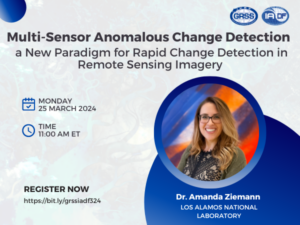
Multi-Sensor Anomalous Change Detection: a New Paradigm for Rapid Change Detection in Remote Sensing Imagery
Combining multiple satellite remote sensing sources can provide a far richer, more frequent view of the earth than that of any single source; the challenge is in distilling this large volume of heterogeneous sensor imagery into meaningful characterizations of the imaged areas. This talk will present recent research in this area, discuss what worked and what didn’t work, and highlight opportunities for future research directions by the community.

2023 Earth at Risk Image Contest Winners
The IEEE Geoscience and Remote Sensing Society Young Professionals are proud to announce the winners of our 2023 Earth at Risk Image contest.
PostDoc: Surrogate modelling for Earth Observation Digital Twin (EO DT)
This postdoctoral research fellowship aims to explore and develop new surrogate models to enhance the efficiency of digital twin simulations.
PostDoc: Synergetic use of satellite data for monitoring surface water dynamics
This post-doctoral study aims to develop new signal and image processing approaches applied to the remote sensing of water surfaces using heterogeneous satellite data.
The REACT EO4SDG Mini Project Winners
The REACT Technical Committee of the IEEE GRSS is proud to announce the winner of the 2023 EO4SDG Mini Projects contest.
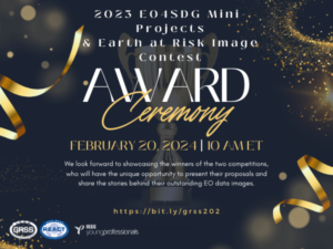
EO4SDG Mini Projects and Earth at Risk Image Contest 2023 Award Ceremony
We are delighted to announce the joint award ceremony of the second edition of EO4SDG Mini-projects, and the Earth at Risk image contest organized by the IEEE Geoscience and Remote Sensing Society. The winners of the two competitions will get the chance to present their proposals and talk about the stories behind their outstanding EO data images followed by a Q&A session.

Navigating Performance Anxiety: Academic and Professional Scenarios in a Young Professional’s Life
In this webinar, you will have the opportunity to engage in experiential learning and devise efficacious action-steps to cultivate a grounded presence and boost self-assurance in approaching situations such as meetings with supervisors, interviews, exams, conference meet and greets, short and long-term deliverables, work presentations, and more.
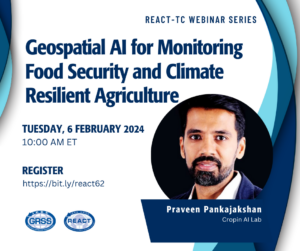
Geospatial AI for Monitoring Food Security and Climate Resilient Agriculture
Amid the rising food insecurity and climate challenges, there is a need for some urgent and crucial, coordinated actions. In this session, we will be focusing on these two different sub-saharan countries where we used geospatial data along with our pre-trained models (unsupervised and supervised models) to identify agricultural activity and, type of crops grown and estimate the yields for the crop of interest.
PhD Position: Artificial intelligence techniques in big synthetic aperture radar data for monitoring soil disturbance and tillage practices
We are looking for a highly motivated candidate to develop modern machine learning methodologies for monitoring tillage and soil disturbances in farmlands.

The ESA HydroGNSS small satellite mission – using novel GNSS Reflectometry techniques to take measurements of the Earth’s water cycle
SSTL, part of the Airbus group, is a UK spin-off company from the University of Surrey, that designs, manufactures and operates small satellites.
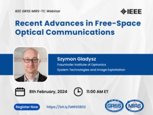
Recent Advances in Free-Space Optical Communications
The seminar will cover recent advances in free-space laser communications in the atmospheric environment. We are witnessing the coming of age for laser communications.
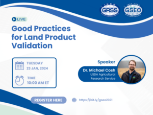
Good Practices for Land Product Validation
The Land Product Validation subgroup is a part of the Committee on Earth Observation Satellites Working Group on Calibration and Validation. The goal is to provide guidance and best practices for the community.