
















About the Webinar
About the Speaker
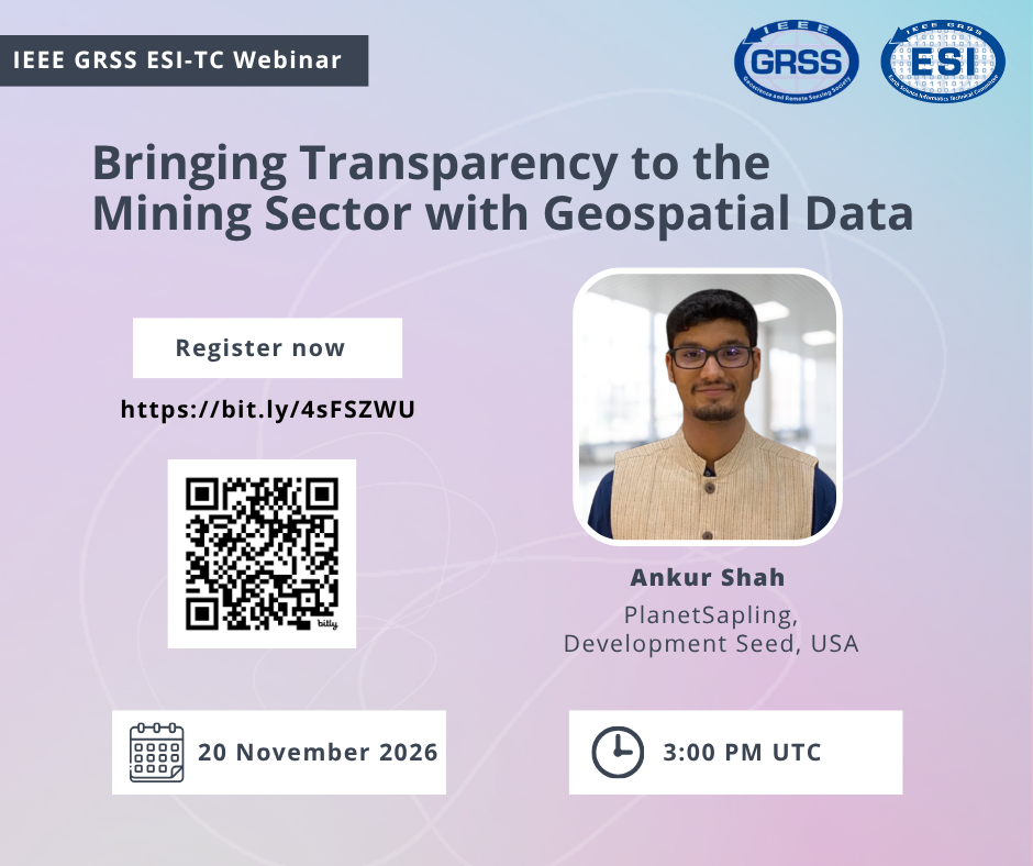
 Ankur Shah is a geospatial data scientist and a Technical Project Lead at Development Seed as well as the Executive Director of PlanetSapling. He has an academic background in Earth System Science and Physics. He has created various applications for organizations such as Project Drawdown, Desert Research Institute, The Nature Conservancy, and One Earth. Ankur has also been awarded the VERGE 2024 Emerging Leaders Award for his dedication to climate focused initiatives. Ankur grew up in the city of Mumbai in India where he developed his passion for environmental science after witnessing the negative impacts of air and water pollution first hand.
Looking for an older Event? See our Past Events. Events prior to April 2024 can be found in our Events Archive.