




By Joanne Van Voorhis
The IEEE Geoscience and Remote Sensing Society (GRSS) marks its 65th anniversary in 2026. This month, we continue our 12-part series by reviewing the period between 2000 and 2006, when GRSS responded to rapid changes in remote sensing by expanding its publications, supporting specialized technical meetings, strengthening its chapter network, and broadening opportunities for technical recognition and participation.
Part IX – Entering the New Millennium (2000-2006)
The beginning of the 21st century brought significant changes to both remote sensing as a field and to GRSS. New satellite missions and sensing technologies were expanding the types of observations that could be made, while advances in computing and digital data handling were making increasingly large and complex datasets more practical to process. Remote sensing systems were providing new measurement capabilities; research was becoming increasingly specialized; the volume of technical literature was growing rapidly; and GRSS was developing more ways for researchers and others to participate. GRSS addressed these developments with targeted growth in its publications, participation in specialized meetings, and expanded support for both chapters and awards.
The Presidents of GRSS during these years reflected the Society’s continuing technical and international breadth. Werner Wiesbeck (2000-2001), Charles Luther (2002-2003), Albin Gasiewski (2004-2005), and Leung Tsang (2006-2007) each contributed to GRSS’ advancement in this era, and were also very active in other aspects of the Society’s work. Gasiewski, for example, served as co-chair of IGARSS 2000 and as co-chair of IGARSS 2006, while Leung Tsang had previously served as Editor-in-Chief of TGRS. One of the hallmarks of GRSS is the ongoing support of dedicated volunteers who contribute their time and knowledge in a wide range of capacities over the course of their careers.

New Trends in Remote Sensing Capabilities
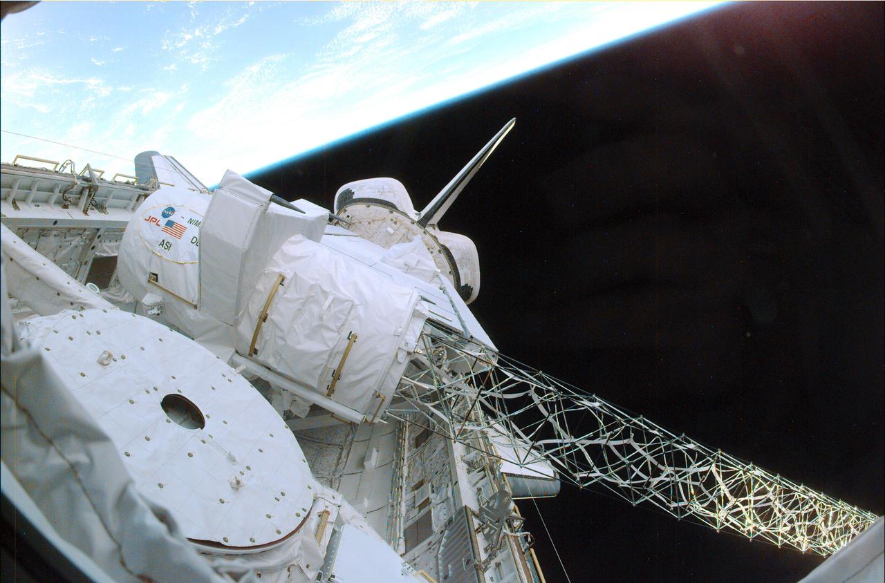
The early years of the new millennium brought important advances in Earth observation and measurement. One significant development was the Shuttle Radar Topography Mission (SRTM), launched aboard Space Shuttle Endeavour in February 2000. During its 11-day flight, the international project used radar interferometry to map nearly 80% of Earth’s land surface, creating the first near-global 3D topographic map, and demonstrating the potential of spaceborne interferometric measurements on a large scale. SRTM was the first spaceborne single-pass interferometric SAR mission.

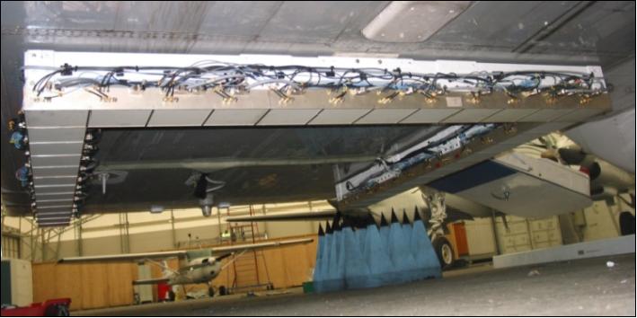
Other developments during this period pioneered new approaches to microwave remote sensing. In 2005, for example, researchers at the Helsinki University of Technology completed the HUT-2D, a two-dimensional synthetic aperture radiometer. Its 2006 airborne data collection campaigns proved that 2D interferometry could function seamlessly on a flight platform. This system served as a critical operational proof of concept for the MIRAS (Microwave Imaging Radiometer using Aperture Synthesis) instrument. By validating the technology’s L-band interferometry and receiver calibration methods, the HUT-2D flights paved the way for the MIRAS payload subsequently selected to fly on the European Space Agency’s Soil Moisture and Ocean Salinity mission.
These developments were reflected in growing interest in interferometric, polarimetric, hyperspectral, and data-fusion methods, as well as in increasingly sophisticated approaches to image analysis and interpretation. The growing range of sensors and measurements also created new challenges: researchers had to develop methods for processing increasingly complex observations and for turning large quantities of measurements into useful information.
The changing technical landscape was visible in the subjects presented at IGARSS and in the Society’s publications. Remote sensing was increasingly a field in which advances in instrumentation, signal processing, algorithms, and applications were closely connected. As in the past, GRSS continued to serve as a forum for members to explore, collaborate, and advance technology.
GRSS Publications Respond to Growing Research Community

Throughout this era, the GRSS Newsletter remained an important way to keep members connected to the Society – reporting on its activities, conferences, awards, technical committees, and developments across the field. It also documented the people, programs, and evolving priorities of the Society, providing valuable documentation of the breadth of GRSS activities during these years.
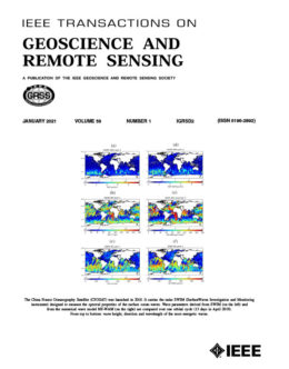
Concurrently, the growth of remote sensing research placed increasing demands on the Society’s other publications. Submissions to IEEE Transactions on Geoscience and Remote Sensing (TGRS) had risen substantially during the 1990’s and continued to grow in the early years of the new century. This growth had already led to changes in the publication schedule. James A. Smith repeated his 1992-1995 term by serving as Editor-in-Chief of TGRS from 2001 to 2002, followed by Jón Atli Benediktsson who took over the role from 2003 through 2008. Under this leadership, TGRS moved from six issues per year to monthly publication in 2003 as the volume of submitted and published research continued to increase.
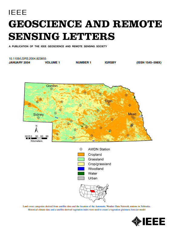
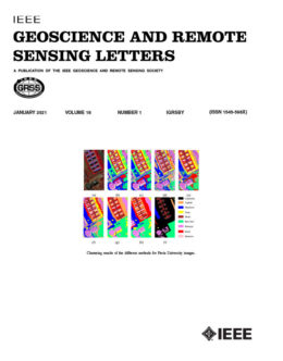
The increasing volume and pace of research also contributed to the creation of a new publication. IEEE Geoscience and Remote Sensing Letters (GRSL) began in 2003 as “Part II” of Transactions on Geoscience and Remote Sensing and became a standalone journal in 2004. Its purpose was to provide a venue for short, original papers in geoscience and remote sensing, complementing the longer papers published in TGRS. The first issue of GRSL appeared in January 2004, with William Emery serving as its founding Editor-in-Chief. Its early papers illustrate the breadth of the field at the time, including satellite and climate data, radar pulse compression, and compression of hyperspectral data. The creation of GRSL reflected the growing need to communicate concise new results in a field where both the volume and pace of research were increasing.
 GRSS also began uploading journals into IEEE Xplore in 2000, coinciding with the digital library’s launch and making the IEEE Transactions on Geoscience and Remote Sensing (TGRS) more easily accessible to subscribers. Following this, IEEE digitized legacy GRSS articles dating back to 1963, ensuring decades of research from TGRS and its predecessor, the IEEE Transactions on Geoscience Electronics, were available online.
IGARSS at the Start of a New Century
 IGARSS continued to serve as the Society’s central annual technical meeting while its scale and international presence continued to grow. The 2000 symposium, held in Honolulu, was particularly notable as the Society’s 20th-anniversary symposium. It attracted 1,134 attendees from 44 countries and supported the global theme “Taking the Pulse of the Planet.” David Goodenough and Andy Blanchard served as symposium co-chairs, the first time GRSS had appointed general co-chairs for the event.
The symposium continued its established rotation among international locations, and was held in Sydney in 2001, Toronto in 2002, Toulouse in 2003, Anchorage in 2004, Seoul in 2005, and Denver in 2006. The Toulouse symposium was the first IGARSS to exceed 1,500 participants, and its Proceedings comprised more than 4,700 pages on CD-ROM.
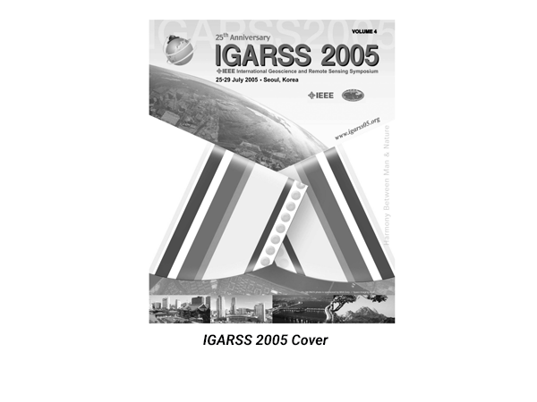
The themes of IGARSS during this time also reflected an expanding field. IGARSS 2005 in Seoul adopted “Harmony Between Man and Nature,” emphasizing remote sensing as a means of observing global economic and environmental change. The 2006 meeting in Denver, “Remote Sensing – A Natural Global Partnership,” focused on the widespread distribution and interoperability of remote sensing and environmental data.
IGARSS was certainly growing, but its importance to GRSS was not simply a matter of attendance. It remained the principal venue for researchers from different parts of the field to present work, organize technical sessions, and establish professional connections. At the same time, the Society was beginning to provide more specialized opportunities for technical exchange.
Expanded Specialized Meetings
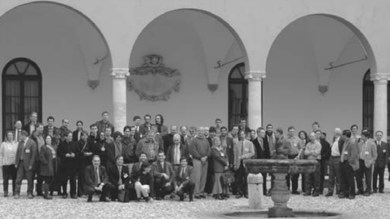
During this era, GRSS supported specialized technical meetings that complemented IGARSS by bringing together researchers working in focused areas of remote sensing. MicroRad, the Specialist Meeting on Microwave Radiometry and Remote Sensing Applications, provides one example. Following GRSS’s initial co-sponsorship of the 1999 meeting in Florence, the series continued with meetings in Boulder in 2001, Rome in 2004, and San Juan in 2006. The 2006 meeting brought together GRSS and a range of scientific and academic partners, including NASA, NOAA, the National Center for Atmospheric Research, the International Union of Radio Science, the University of Puerto Rico at Mayagüez, and Colorado State University. These more focused meetings provided dedicated forums to explore advances in microwave radiometry, including instrumentation, calibration, and remote-sensing applications.
The same model was increasingly applied to other areas, including urban remote sensing. The first GRSS/ISPRS Joint Workshop on Remote Sensing and Data Fusion over Urban Areas (URBAN 2001) was held in Rome in 2001, followed by meetings in Berlin in 2003 and Tempe, Arizona, in 2005. These workshops addressed emerging challenges in urban Earth observation, including high-resolution optical and radar sensing, multispectral and hyperspectral imagery, data fusion, building and road extraction, and urban modeling. The 2005 meeting was held as part of a joint urban remote-sensing event with the ISPRS International Symposium on Remote Sensing of Urban Areas, and the series subsequently evolved into the Joint Urban Remote Sensing Event (JURSE) in 2007.
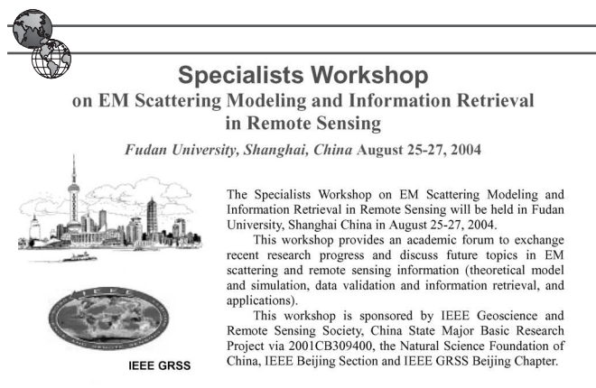
Another example of the many focused events during this era was the “Specialist Workshop on EM Scattering Modeling and Information Retrieval in Remote Sensing,” held at Fudan University in Shanghai, China in 2004. The event brought together professionals to exchange research progress and discuss EM scattering and remote sensing information including theoretical model and simulation, data validation and information retrieval, and applications.
 For GRSS, these specialized meetings complemented IGARSS by providing focused forums for particular technical and application areas. They broadened the Society’s activities beyond its large annual symposium and provided a way to support emerging research communities as new sensors, methods, and applications developed.
Growth of Technical Committees and Chapters
Back in 1994, three standing Technical Committees were established to provide focused technical leadership and help the Society develop consensus and direction on emerging areas and issues in remote sensing: Data Fusion (DF), Data Standardization and Distribution (DSD), and Instrumentation and Future Technologies (IFT). In 2000, Al Gasiewski, who had succeeded Charles Luther as Vice President of Technical Activities, chartered a fourth committee, the Frequency Allocations in Remote Sensing (FARS) Technical Committee, reflecting growing concerns over spectrum allocation and coordination. The charge of the FARS TC was “to provide recommendations and responses to issues on interference and frequency allocations in passive and active microwave remote sensing.”
In addition, GRSS approved a new User Applications of Remote Sensing (UARS) Technical Committee in November 2002, which was inaugurated at IGARSS 2003. This committee was launched on a “trial” basis and broadened the technical structure to address the development and application of remote-sensing information across the Earth, atmospheric, and planetary sciences. The charge of the UARS TC was “to support the development of remote sensing applications within the broad communities of users in earth and atmospheric sciences and planetary science.” It remained active until at least 2009.
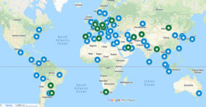
Through expanding technical committees between 2000 and 2006, GRSS continued to accurately reflect the broadening range of technical and application issues confronting the field. This era also saw the expansion of individual chapters around the globe. Notable new chapters included Spain in 2000, Seoul in 2001, Germany and Southern Italy in 2003, Taipei and the United Kingdom in 2004, and Quebec and Vancouver in 2005. Eastern North Carolina was also added as a U.S. chapter in 2003. The growth of chapters provided more local and regional opportunities for members to connect and participate in all that GRSS had to offer.
Awards and Recognition
From 2000-2006, GRSS maintained their successful awards program, recognizing achievements across technical research, education, professional service, and student scholarship. In addition to its major technical awards, the Society used awards and competitions to recognize contributions and encourage the next generation of researchers.
Education had long been a key aspect of GRSS activities, and in 2000, AdCom established the GRSS Education Award to recognize significant contributions to education. The inaugural 2002 awardee was Nahid Khazenie, recognized for her educational outreach and work involving collaboration among government, academia, and industry. In the 2000-2006 era, Education Award honorees included several dedicated volunteers who have contributed a great deal to GRSS over the years including David Landgrebe (2003), William Emery (2004), Dominic Solimini (2005), and Fawwaz Ulaby (2006).
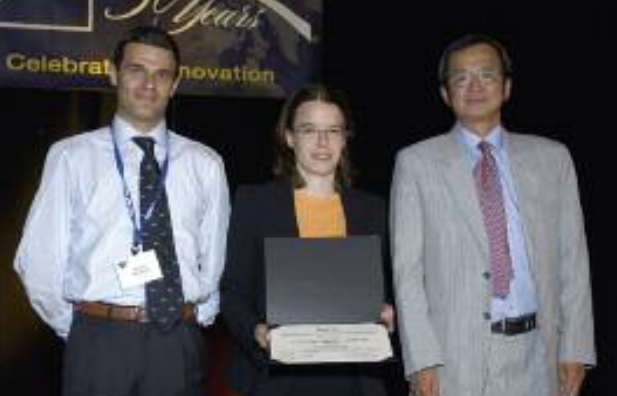
In 2006, the GRSS Student Prize Paper Competition was notably presented to a woman for the first time. Francesca Bovolo (University of Trento, Italy) was recognized for her presentation of “A Novel Theoretical Framework for Unsupervised Change Detection Based on Change Vector Analysis in Polar Domain,” which addressed unsupervised change detection by proposing a proper framework for a formal definition and a theoretical study of the change vector analysis (CVA) technique.
A Growing Society with a Broader Technical Community
We’ve seen that the new millennium brought significant changes in remote sensing. New missions such as SRTM demonstrated new measurement capabilities, while interferometric and polarimetric techniques were becoming increasingly important. Researchers were also confronting increasingly complex datasets and the need to integrate observations from different sensing approaches. In response, GRSS expanded its publications, awards programs, and conferences and supported specialized technical symposia. All these efforts provided members with enhanced opportunities to share research and collaborate to shape the future of the field.