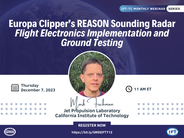
07 Dec 2023
The Radar for Europa Assessment and Sounding: Ocean to Near-surface (REASON) is a dual-frequency (9-MHz HF, 60-MHz VHF) radar that will collect the first ever science data set below the icy surface of Jupiter’s moon Europa. In this talk, I will introduce the instrument specifications and operating concept unique to making “flyby” radar observations of Europa (approach, nadir closest approach, and departure) over the course of the mission.


14 Nov 2023
Dr. McNairn is thrilled to be invited to deliver a webinar for the Geoscience and Remote Sensing Society (GRSS) Women in Africa initiative.


26 Oct 2023
The webinar will present new methods for efficient computation of the Kirchhoff integral that is a key requirement for studies of rough surface scattering.
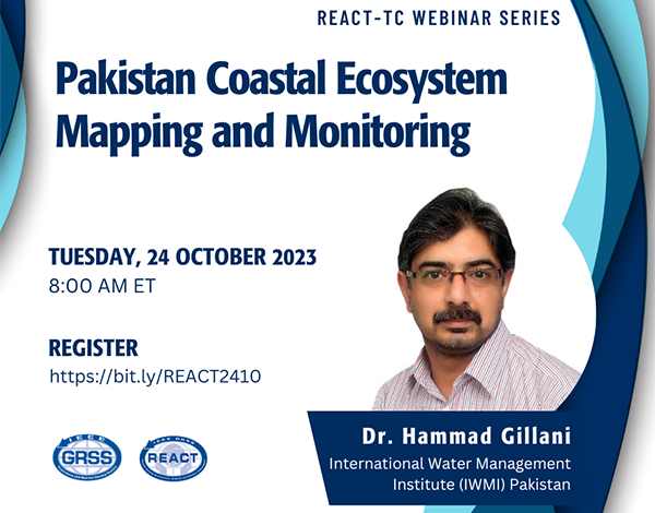

24 Oct 2023
This talk would showcase the existing work on understanding the dynamics of the Pakistan Coastal Ecosystem, particularly focusing on mangroves using Earth Observation technologies.
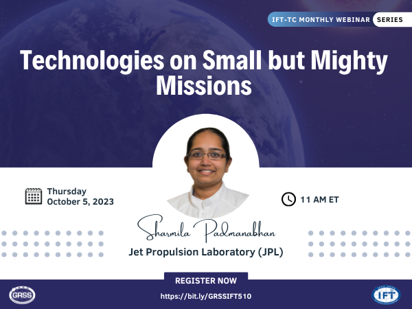

05 Oct 2023
This talk will describe some of the recent NASA Class D Type 2 Earth Science missions that have been enabled by 35 nm InP Monolithic Microwave Integrated Circuits as well as room temperature thermopile detectors in the Mid to Far IR.

19 Sep 2023
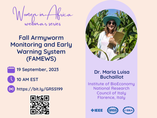
Traditional active radars transmit a powerful electromagnetic pulse and record the echo's delay time and power to measure target properties of interest, such as range, velocity, and reflectivity. Such observations are critical for investigating current and evolving conditions in extreme environments (i.e., polar regions and planetary missions); however, existing radar systems are resource-intensive in terms of cost, power, mass, and spectrum usage when continuously monitoring large areas of interest. I address this challenge by presenting a novel implementation of passive radar that leverages ambient radio noise sources (instead of transmitting a powerful radio signal) as a low-resource approach for echo detection, ranging, and imaging.

03 Aug 2023
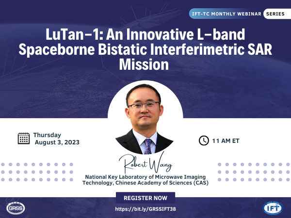
LuTan-1 is an innovative spaceborne Synthetic Aperture Radar (SAR) mission with bistatic interferometry capability. In this talk, I will provide an overview of the SAR system of LuTan-1, describe the technical challenges occurred during the development such as phase synchronization, range ambiguity and non-linear FM waveform, and present the preliminary LuTan-1 results from the bistatic imaging, DEM generation from bistatic interferometry, deformation mapping from mono-static interferometry and ground target classification from the unique compact polarization.

29 Jun 2023
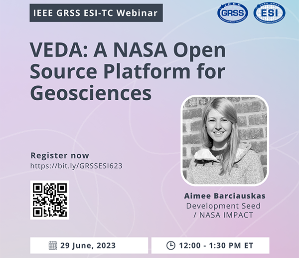
Visualization, Exploration, and Data Analysis (VEDA) is NASA's open-source science platform for Earth science research and applications. The webinar will demonstrate how VEDA addresses the challenges of data processing, visualization, and exploration, especially for cloud-native data.

28 Jun 2023
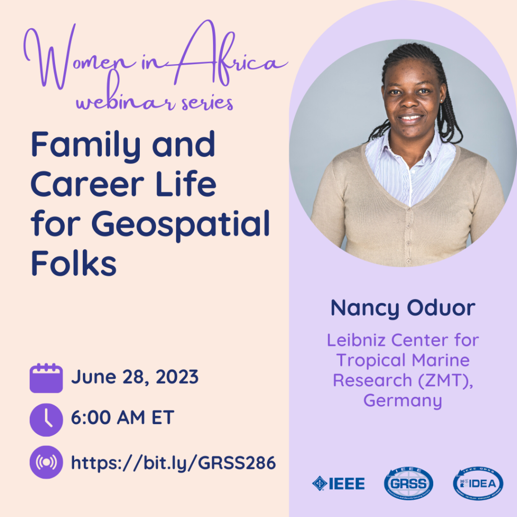
In the webinar, our speaker will lead us through an interactive discussion on Understanding the family concept and the role of women in the African context; the geosciences field, what fits me? And Integrating family and a career in geosciences.
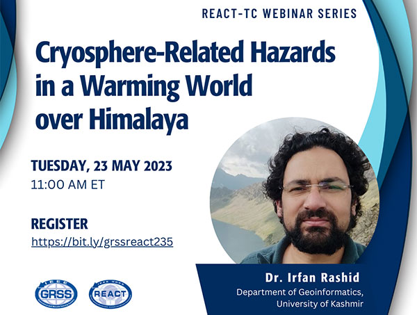

23 May 2023
This webinar, which is a precursor to a community contributed session at IGARSS 2023, sponsored by the REACT TC, aims to showcase how various stakeholders in the earth sciences and impact organizations are utilizing sensors, frameworks, and flood data to produce knowledge for flood assessment, mitigation, and recovery.
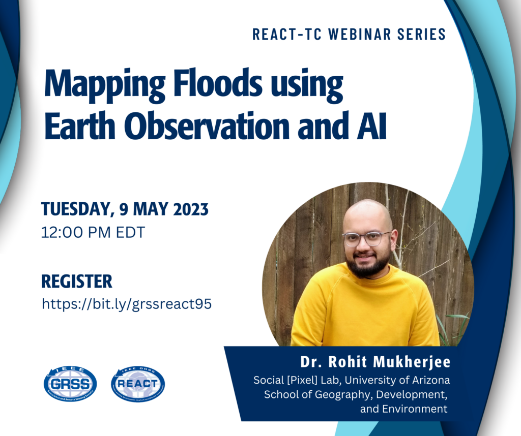

09 May 2023
This webinar, which is a precursor to a community contributed session at IGARSS 2023, sponsored by the REACT TC, aims to showcase how various stakeholders in the earth sciences and impact organizations are utilizing sensors, frameworks, and flood data to produce knowledge for flood assessment, mitigation, and recovery.


04 May 2023
Technological capabilities in Earth observation (EO) systems are rapidly changing. Understanding these trends allows for developing baselines for future technology performance projections that can guide mission planning and technology investments decisions. The empirically derived technological trajectories are projected for mid (2030) and long-term (2040) scenarios and implications for technology portfolio


