The Remote Sensing Data Labeling Challenge
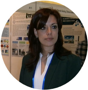
Webinar Speaker: Dr. Claudia Paris
- Tuesday, March 30, 2021
- 9:00 AM (PT)
- Sponsored by GRSS
About the Webinar
One of the main problems affecting large-scale remote sensing data processing is the lack of labeled samples. This is even more evident when training deep learning models, which require a considerable number of labeled data to obtain good generalization capability. However, collecting large amounts of either field data or manually annotated data is complicated from an operational view-point. Besides the quantity of training units, the sampling strategy and the quality of training samples (i.e., representative of the whole study area) are equally important to the learning paradigm. In this context, it is interesting to explore different learning strategies for collecting labeled data in a fast and efficient way (e.g., self-paced learning, active learning or transfer learning). Moreover, several cartographic products are available at national, continental or global level due to their importance for commercial and environmental monitoring and planning. Such thematic products represent a valuable source of information to generate large scale reference data.
Speakers’ Bio
Claudia Paris is Assistant Professor at the Department of Information Engineering and Computer Science of the University of Trento, Italy. She received the “Laurea” (B.S.), the “Laurea Specialistica” (M.S.) (summa cum laude) degrees in Telecommunication Engineering and the Ph.D. in Information and Communication Technology from the University of Trento, Italy, in 2010, 2012, 2016, respectively. In 2014 she was a visiting PhD student at the Rochester Institute of Technology (RIT), Rochester, New York State, USA, working on the fusion of airborne and terrestrial LiDAR data. In 2016 she was a visiting Post-Doc at the Instituto Superior Técnico, Lisbon, Portugal, working on the superresolution of multiresolution multispectral remote sensing images. Her main research includes image processing and machine learning with applications to remote sensing image analysis. She conducts research on remote sensing single date and time series image classification, land cover map update and fusion of multisource remote sensing data for the estimation of biophysical parameters. Dr. Paris won the very prestigious Symposium Prize Paper Award (SPPA) at the 2016 and 2017 International Symposium on Geoscience and Remote Sensing (IGARSS), in Beijing, China, 2016 and Fort Worth, Texas, USA, 2017.


