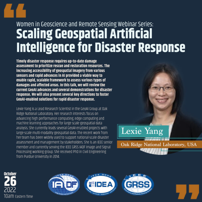
Scaling Geospatial Artificial Intelligence for Disaster Response
About the Webinar
Timely disaster response requires up-to-date damage assessment to prioritize rescue and restoration resources. The increasing accessibility of geospatial imagery from various sensors and rapid advances in AI provided a viable way to enable rapid, scalable framework to assess various types of damages and affected areas. In this talk, we will review the current GeoAI advances and several demonstrations for disaster response. We will also present several key directions to foster GeoAI-enabled solutions for rapid disaster response.
About the Speaker
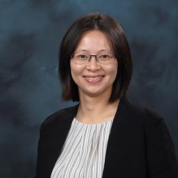

Lexie Yang is a Lead Research Scientist in the GeoAI Group at Oak Ridge National Laboratory.
Her research interests focus on advancing high performance computing, edge computing and machine learning approaches for large scale geospatial data analysis. She currently leads several GeoAI-enabled projects with large-scale multi-modality geospatial data. The recent work from her team has been widely used to support national-scale disaster assessment and management by stakeholders. She is an IEEE senior member and currently serving the IEEE GRSS IADF Image and Signal Processing working group. She received PhD in Civil Engineering from Purdue University in 2014.


