Young Professionals (YP) in Geoscience and Remote Sensing
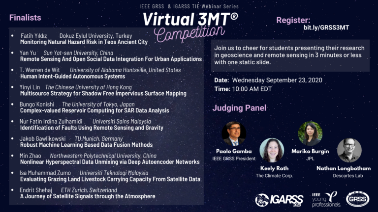
3 Minute Thesis (3MT™) Competition
The IEEE GRSS YP team organizes 3 Minute Thesis competitions at all society conferences. The competitions are open to all students in a research-based masters or doctoral program i.e. a program in which a final thesis is needed to graduate. There are two stages in the competitions. In the first stage, all eligible students who have submitted an abstract to the conference can upload a 3-minute video describing their thesis to a video platform of their choice (Youtube, Youku Tudou, etc.). The judging criteria for this phase are presentation skills (40%), scientific quality (40%) and originality (20%) of the topic presented. Any visual aid is permitted only for this phase of the competition.
Out of all submissions, 10 are selected to present at the conference to an audience and an adjudicating panel for the second phase of the competition. The rules and judging criteria for the second stage are those of traditional 3MT™ competitions and are as below:
- A single static PowerPoint slide is permitted. No slide transitions, animations, or ‘movement’ of any description are allowed. The slide is to be presented from the beginning of the oration.
- No additional electronic media (e.g. sound and video files) are permitted.
- No additional props (e.g. costumes, musical instruments, laboratory equipment) are permitted.
- Presentations are limited to 3 minutes maximum and competitors exceeding 3 minutes are disqualified.
- Presentations are to be spoken word (e.g. no poems, raps, or songs).
- Presentations are to commence from the stage.
- Presentations are considered to have commenced when a presenter starts their presentation through either movement or speech.
The decision of the adjudicating panel is final.
Explore Our Initiatives
Earth at Risk Image Contest
The Earth at Risk image contest aims to raise awareness of nature and climate crises and to demonstrate the power of Earth Observation (EO) data in helping us better understand the environmental changes on Earth and find solutions to protect our planet.
The way to participate is to send an impactful image of an EO data product highlighting a damage caused to the Earth, such as earthquakes, floods, pollution, deforestation, infrastructure damage, climate change, etc., followed by a short story showcasing the image interpretation, the used EO data and the crucial role of remote sensing during such crises.
The contest is open to all students, young scientists, and engineers in the field of Geoscience and Remote Sensing.Highlights of the latest YP Competitions
Earth at Risk Image Contest 2022
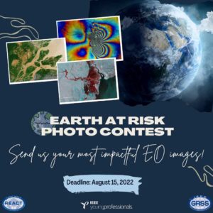
The “Earth at Risk” Image Contest 2022 is open for applications.
Send us your most impactful
Earth Observation data images.
The deadline is August 15, 2022
Visit here the call for submissions.
3MT IGARSS 2022
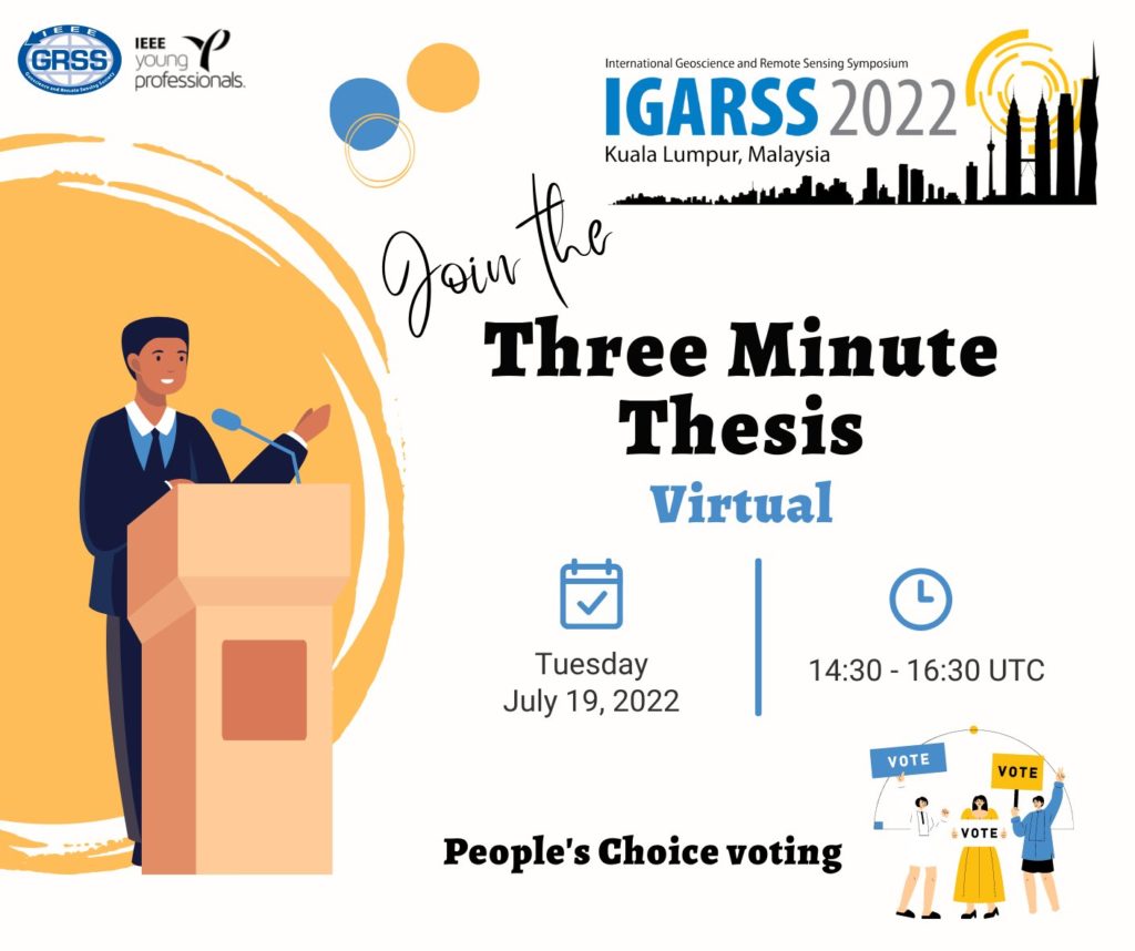

A 3MT was organized at International Geoscience and Remote Sensing Symposium Malaysia 2022. The final round was held virtually on Zoom in conjunction with the hybrid mode of the symposium.
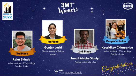
The winners of IGARSS 2022 3MT are:
1- Gunjan Joshi
2- Ismail Abiola Olaniyi
3- Rajat Shinde
People’s choice: Koushikey Chhapariya

3MT M2GARSS 2022

A 3MT was organized at the Mediterranean and Middle East Geoscience and Remote Sensing Symposium 2022.
The winners of M2GARSS 2022 3MT are:
1- Mira Shivani Sankar
2- Edanur Firat
3- Belkis Asma Semcheddine
People’s choice: Sebastian Simbarashe Mukonza
Find the recording on our YouTube channel.
3MT M2GARSS 2020
A Virtual 3MT was held at the International Geoscience and Remote Sensing Symposium 2020.
The winners of IGARSS 2020 3MT are:
1- Jakob Gawlikowski
2- Nur Fatin Irdina Zulhamidi
3- Bungo Konishi
People’s choice: Min Zhao
